Product description
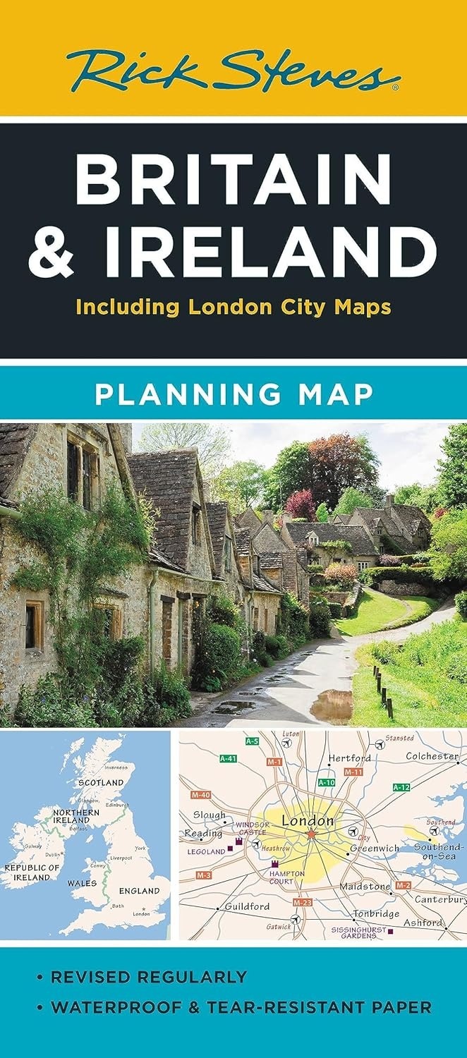
Designed for Rick Steves fans, this map highlights Great Britain and Ireland's best destinations in a colorful, easy-to-use format on high-quality paper. While big cities are included for navigational purposes, this map focuses on Rick’s favorite spots for travelers: at a glance, all the places you read about in Rick Steves' guidebooks stand out in a crisp, easy-to-read format. This map is printed on tearproof paper to last over many trips, and includes highways, ferry routes, bus stops, and train lines for easy route-planning. The reverse side includes a detailed city-center map of London locating sights, hotels, and restaurants.
Related articles
Oxford & The Cotswolds Planning Map
$9.99 Excl. tax
Rick Steves Great Britain
$29.99 Excl. tax
Rick Steves London
$22.99 Excl. tax
Rick Steves England
$27.99 Excl. tax
London City Map
$9.99 Excl. tax
A Kid's Guide to London
$16.99 Excl. tax
Lonely Planet England
$26.99 Excl. tax
Lonely Planet Great Britain
$29.99 Excl. tax
Not For Tourists Guide to London 2025
$19.99 Excl. tax
Pomegranate
Story Map of Ireland 500-Piece Puzzle
$24.50 Excl. tax